What You Are Making in This Chapter
As mentioned, the focus of this chapter will be using the GME in conjunction with Yahoo! Pipes to build a Flickr/Google Maps mashup. Let’s first look at the final product that I will show you how to build step by step. Doing so will teach you about the GME and Yahoo! Pipes (when you load the mashup, you will be asked to log in using your Google e-mail address because this app requires authentication):
http://mashup-raymond-yee-flickrfeed4.googlemashups.com/
This mashup displays geotagged photos on a Google map. There are two tabs: Search and Saved Results. Let’s consider the Search tab (see Figure 11-1). Upon loading, the map is set to Berkeley, California—and recent geotagged photos around that area are loaded in a list form and also displayed on a Google map. Remember that when you use the Flickr API to search for geotagged photos, you need to specify a geographic region (a bounding box) in which you are searching for photos. This mashup map shows a rectangle to denote this search bounding box.
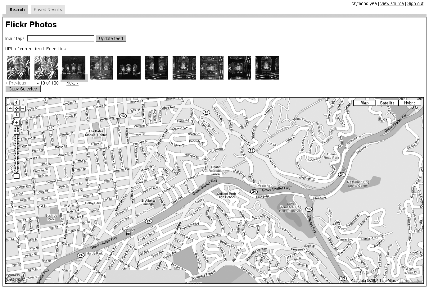
When you enter a tag, a search is done on geotagged photos with the specified tag within the current bounding box of the map. Up to 100 results are loaded at a time; you can page through the photos.
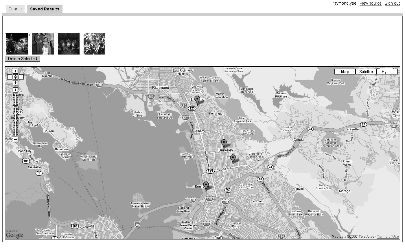
Notice that there is a Copy Selected button. You can select a photo and hit that button, which saves the selected photo to your saved entries feed, which you can then see on the Saved Results tab (see Figure 11-2). On this second tab, you find a list of the Flickr photos that you have saved in addition to a map showing the locations of the saved photos. You’ll also see a Delete Selected button that lets you remove a selected photo from your feed of saved entries.
Now let’s build this mashup step by step.